Service

  • Aerial photography
    We are offering you our services of aerial photography and processing ...
  • 3D-models of the terrain
    Creation of geographical location based photorealistic 3D-models of ur...
  • Survey of linear objects
    Unmanned photo shooting of traffic roads, railways, electricity transm...
  • Thermal vision shooting
    Shooting is useful for detection of heat losses, sea...
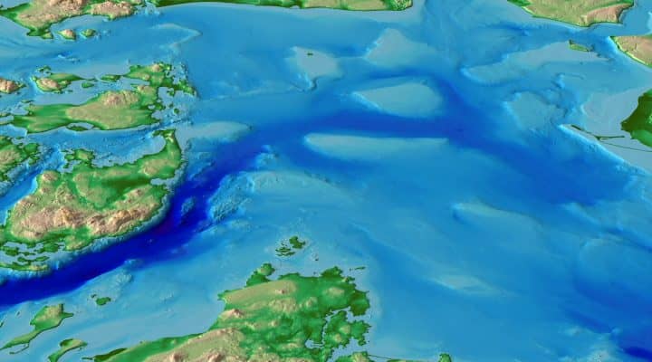
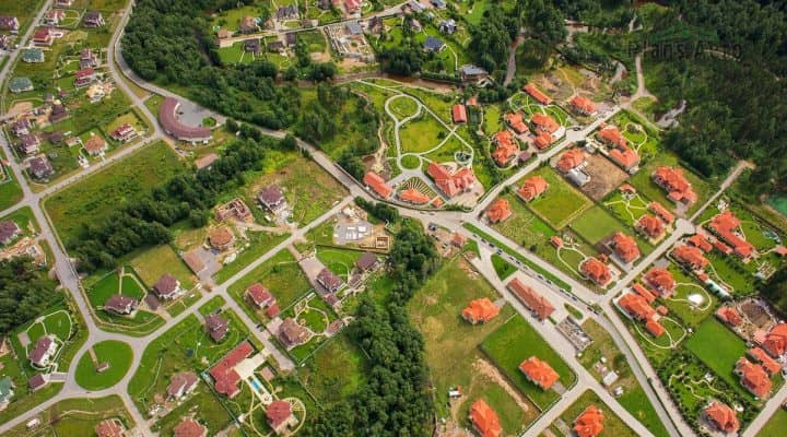
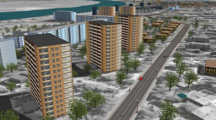
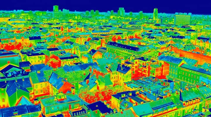
  • Digital model of the terrain
    Digital surface model (DSM) is represented by the data aggregate (plan...
  • Aerial monitoring
    Shooting is carried out in visible or thermal bands with the help of u...